Wildfire Smoke Spread Across the U.S.
Added on 26 May 2016
Watched
3,334
times
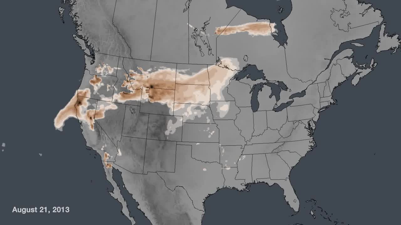
When volcanoes erupt, toxic plumes are released, or wildfires burn, NOAA's HYSPLIT model is used to answer some fundamental questions: where will it go and how concentrated will it be? The HYSPLIT wild fire smoke model run on August 21st, 2013 at 6z shows the cloud of smoke being emitted from many of the wildfires raging in the Western U.S. The actual locations of these point-source pollutants can be seen as very high concentration smoke areas, colored dark brown. The data shows the plumes reaching across the Continental United States by Friday, August 23rd.
The ability of the NOAA GOES satellite to detect aerosols is an important input to these models, as are the wind measurements derived from GOES infrared imagery.
코멘트